Physical Address
304 North Cardinal St.
Dorchester Center, MA 02124
Physical Address
304 North Cardinal St.
Dorchester Center, MA 02124

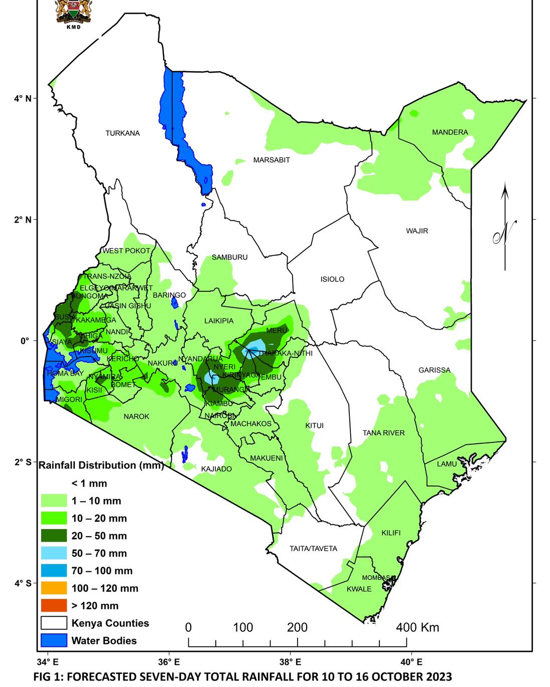
Are you a curious geographer interested in Kenya’s ecological zones? Look no further. Understanding these zones brings out the country’s rich biodiversity and the ways in which different communities use natural resources. They shape Kenya’s landscapes and influence everything from wildlife habitats to farming methods. You must be asking yourself, how many ecological zones are there in Kenya?
Ecological zones are distinct areas characterised by specific climatic conditions such as temperature, rainfall, vegetation types and wildlife. These factors play a crucial role in determining the characteristics of different ecological zones, thereby influencing agricultural practices.
Ecological zones in Kenya can be agro climatic or agroecological. Agro climatic zones focus primarily on climatic factors as determinants of agricultural potential and suitability. Based on the moisture index, agro climatic zones in Kenya can be classified into the seven zones highlighted below.
This zone plays no direct role in agriculture but is important as a source of rainwater from rivers and streams. It is mainly found in mountain areas and their nearby regions, like Mt. Kenya and Mt. Elgon.
This zone is mainly in the highlands of Kenya between 1980 and 2700 m and occurs as a forest or open grassland. The main grasses here are Pennisetum clandistenum (Kikuyu grass), Themeda triandra (Red oats), Andropogon Chrysostachyus, Andropogon pralonsia, and Exotheca abysinica. The minimum amount of rainfall is 1000 mm.
The subhumid zone occupies areas around Mt. Kenya, parts of Meru, Embu, Kirinyaga, Nyeri, Mau, and Aberdare mountains, and the surroundings of Mt Elgon (around Kitale and Webuye). The legumes found in this zone include Trifolium johnstoni, Medicago sativa (Alfalfa or Lucerne), Sesbania sesban, and Leuceana leucusephala.
The semi-humid zone occurs mainly at elevations between 900-1800 m with an annual rainfall between 950 and 1500 mm. It is mainly occupied by humans as it supports agricultural activities. It occurs in areas like Nandi, Nakuru, Bomet, Eldoret, Kitale, and a small strip on the coast of the province.
The major grasses growing in this zone include: Hyperenia and Cymbopogon, Themeeda triandra, Panicum maximum, Seteria Sphacelata, Sporobolus pyramidalis, Bracharia brizantha (Congo signal), Bricharia siluta, Chloris gayana (Rhodes grass) and Cynodon dactylon (Star grass). The trees here are numerous and shorter than in the sub-humid zone.
This zone occupies the same elevation of 900-1800 m but can sometimes be lower. Additionally, it has lower rainfall of about 500-1000 mm. The zone is dominant in Naivasha, Laikipia, and Machakos districts and parts of central and southern Coast Province.
This zone is much drier than the semi-humid to semi-arid as it occurs at lower elevations. The annual rainfall in this zone is 300-600mm. The zone is prevalent in northern Baringo, Turkana, lower Makueni and parts of North Eastern Province.
This zone is almost semi-desert and is the driest part of Kenya. The annual rainfall in this zone is 200-400 mm and, therefore, quite unreliable. The zone is the most delicate; thus, annual and perennial grasses are important here. It is found in Marsabit, Mandera and Wajir Districts.
The Chalbi desert in Marsabit district represents this zone. It is a salt desert with very sparse bushes as the only vegetation. Pastoralists use it as a source of mineral lick for livestock, particularly during the rainy season.
An agroecological zone is a geographic area defined by climate, soil type and land use patterns. These zones help guide agricultural activities based on local environmental conditions. In Kenya, there are two systems are that describe agro ecological zones:
This system applies only to Kenya. The country’s dry land mass can be divided into the highlighted six agro-ecological zones.
The Food and Agriculture Organization of the United Nations (FAO) and the International Institute for Applied Systems Analysis (IIASA) have cooperated over several decades to develop and implement the Agro-Ecological Zones (AEZ) modelling framework and databases. FAO agro ecological zones include:
These zones address two types of questions:
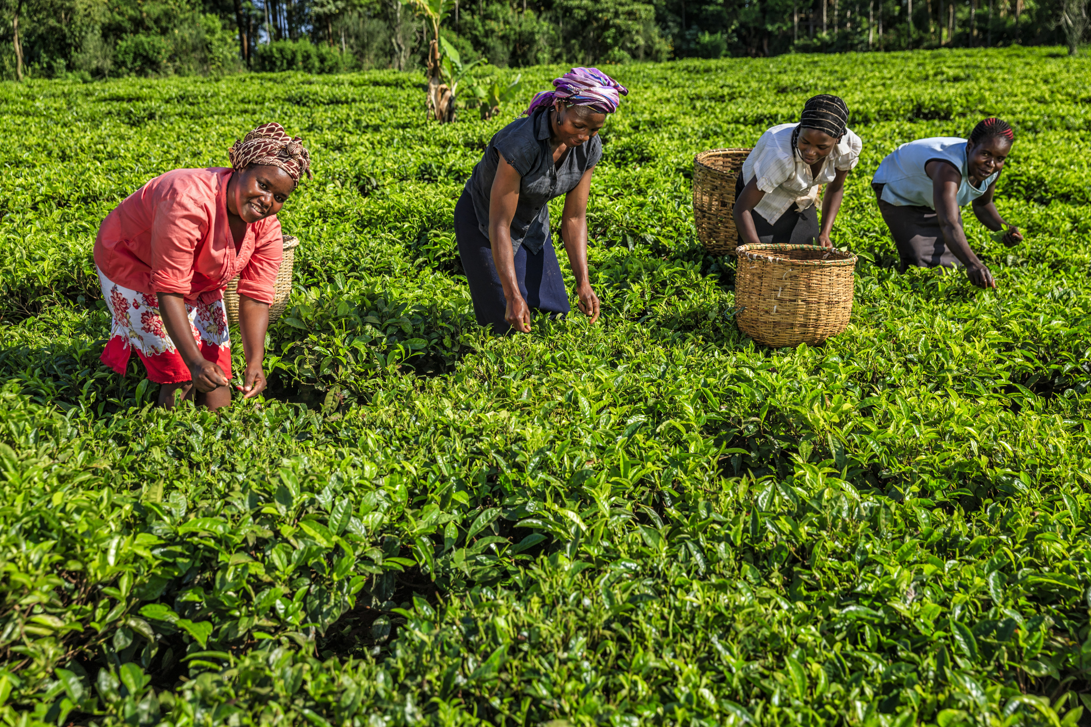
In Kenya, for instance, temperature belts depend on the maximum temperature limits within the main crops. Cashew and coconuts are for the lowlands, sugar cane and cotton for the lower midlands, Arabica coffee for the highlands, tea for the lower highlands and pyrethrum for the upper highlands.
FAO agroecological zones are based on their probability of meeting the temperature and water requirements of the main leading crops. The name of the main zones refers to the potentially leading crops like the coconut-cassava zone, the groundnut zone, the pyrethrum-wheat zone and the coffee zone.
Kenya has a variety of ecological regions, each characterised by their different climatic conditions, vegetation and amount of rainfall. Some of the ecological regions of Kenya include the following:
How many ecological zones are there in Kenya? As seen above, the country is divided into seven main agro-climatic zones. Each plays a crucial role in the country’s environment, agriculture, and biodiversity. So, the next time you venture out, take a moment to notice how these zones shape Kenya’s landscapes.